🌍 GeoRelics
GeoRelics is a reliable companion app for bikepackers, ultraracers, hikers, cyclists, gravel riders, bushcrafters, survivalists, and anyone exploring the outdoors who needs critical information — even without mobile coverage.
Whether you’re on a multi-day tour, deep in the backcountry, or traveling through remote areas, GeoRelics helps you find water, shelter, supplies, and emergency services when it matters most.
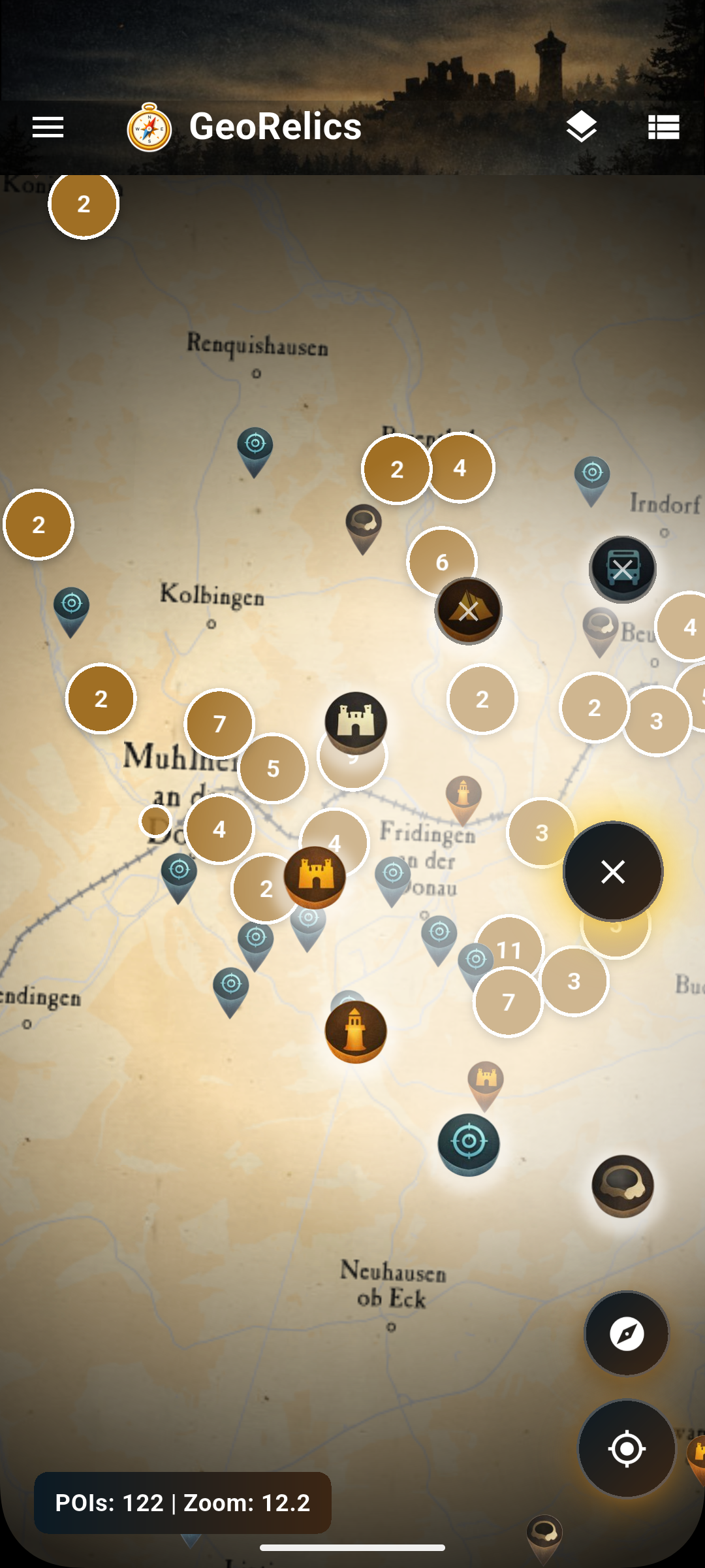
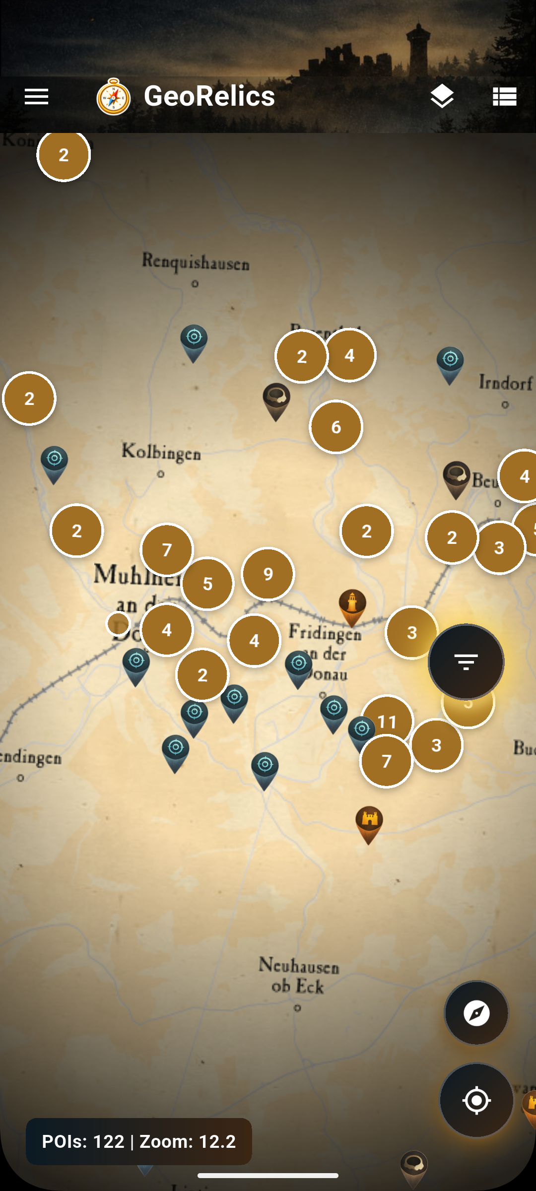
🗺 Interactive Outdoor Map
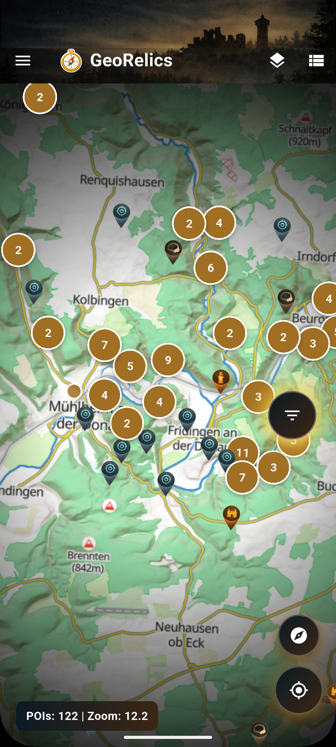
- Fast, lightweight map powered by OpenStreetMap
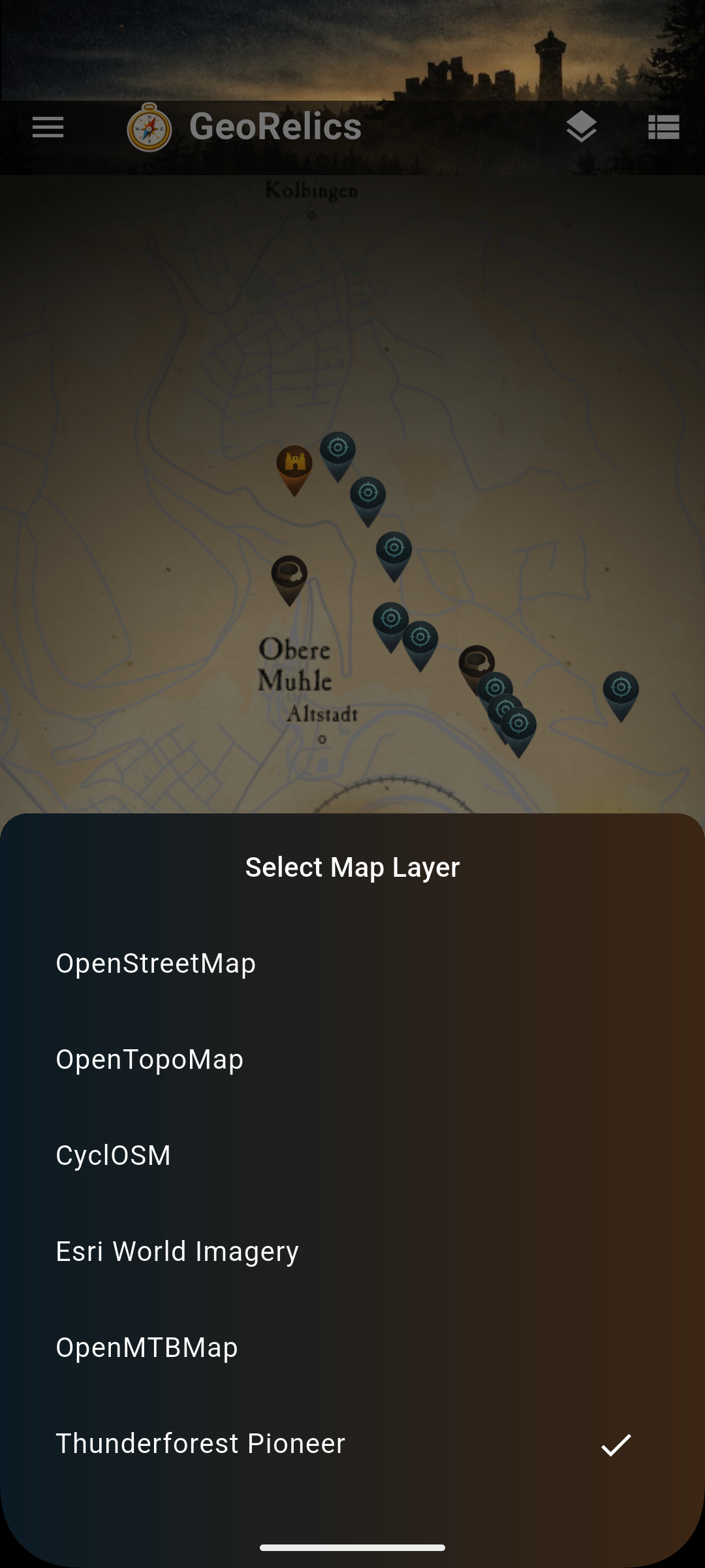
- Multiple map layers:
- Standard OSM
- Topographic maps
- Thunderforest layers
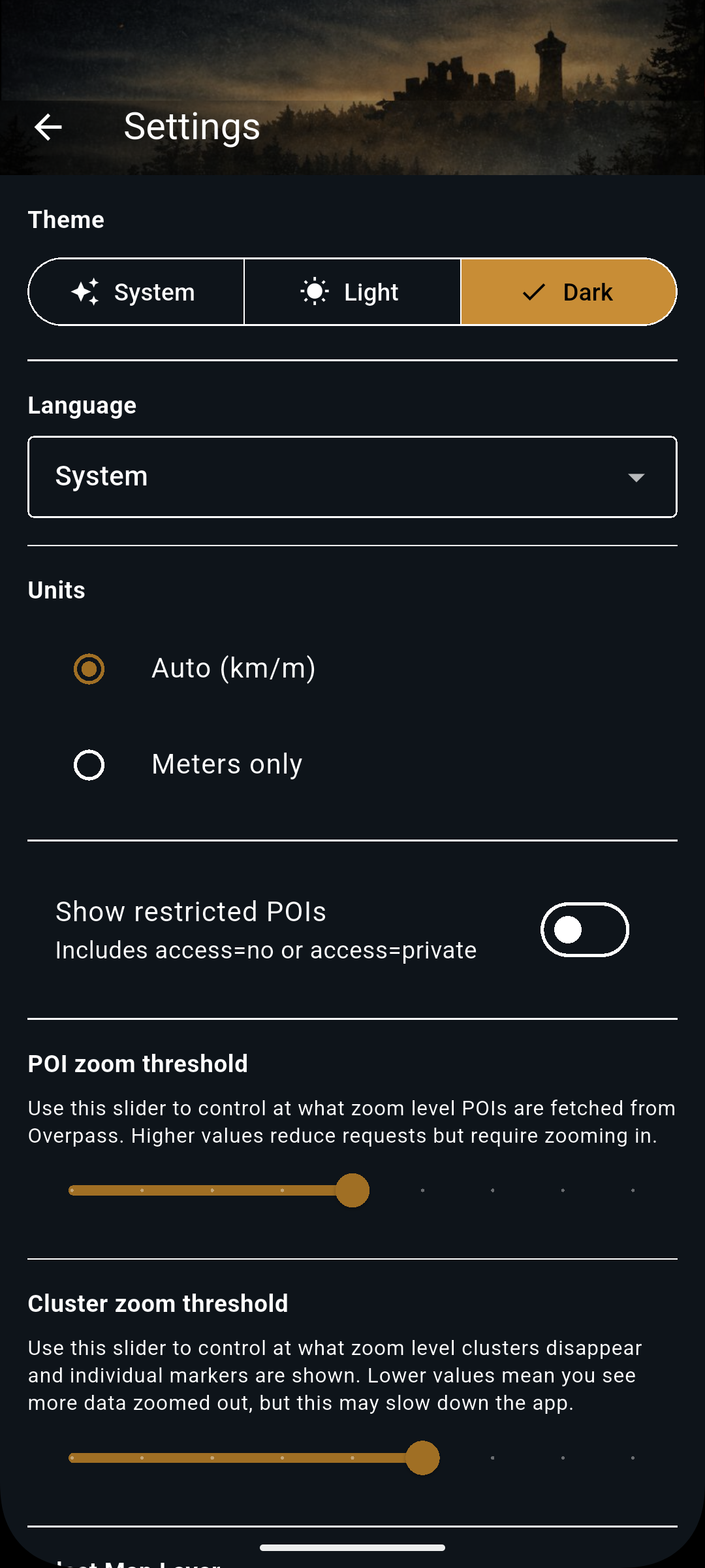
- Dark Mode support for night use
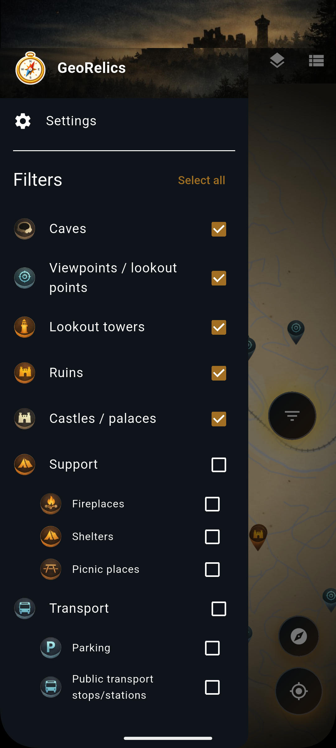
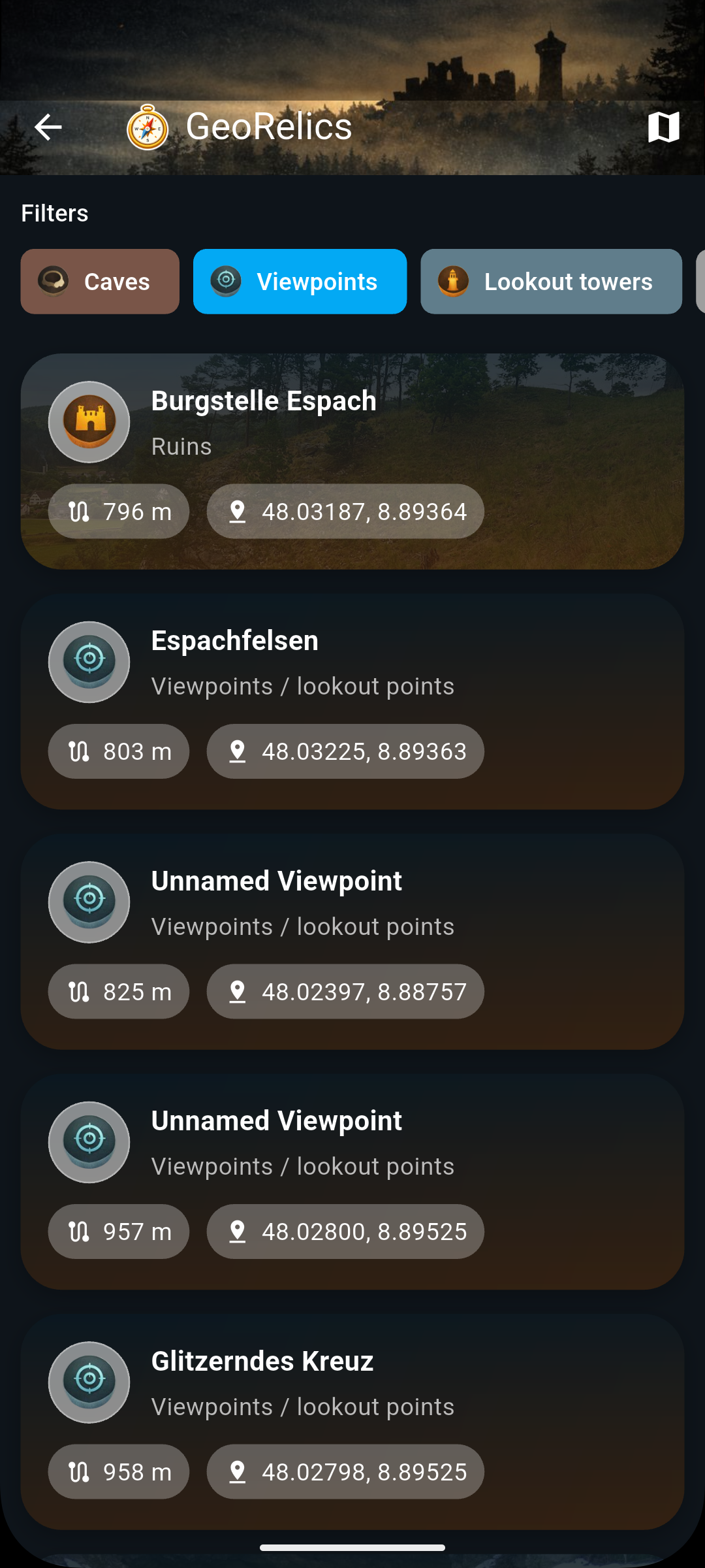
🔍 Smart POI Filtering
Quickly toggle essential categories:
- 💧 Water
- 🏕 Shelter
- 🛒 Supplies
- 🛠 Helpers
- 🚑 Emergency
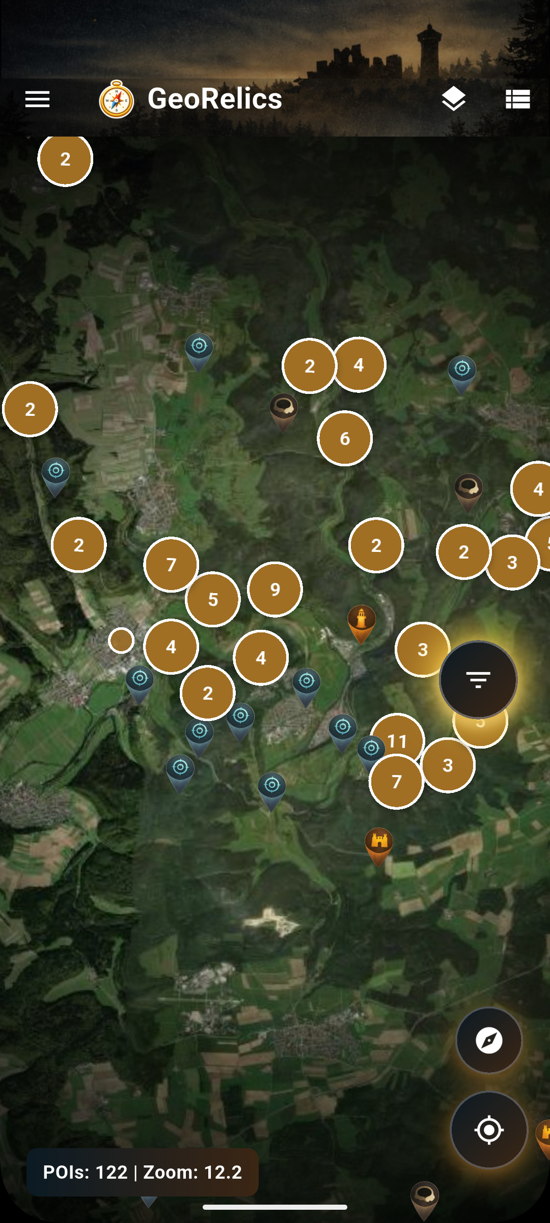
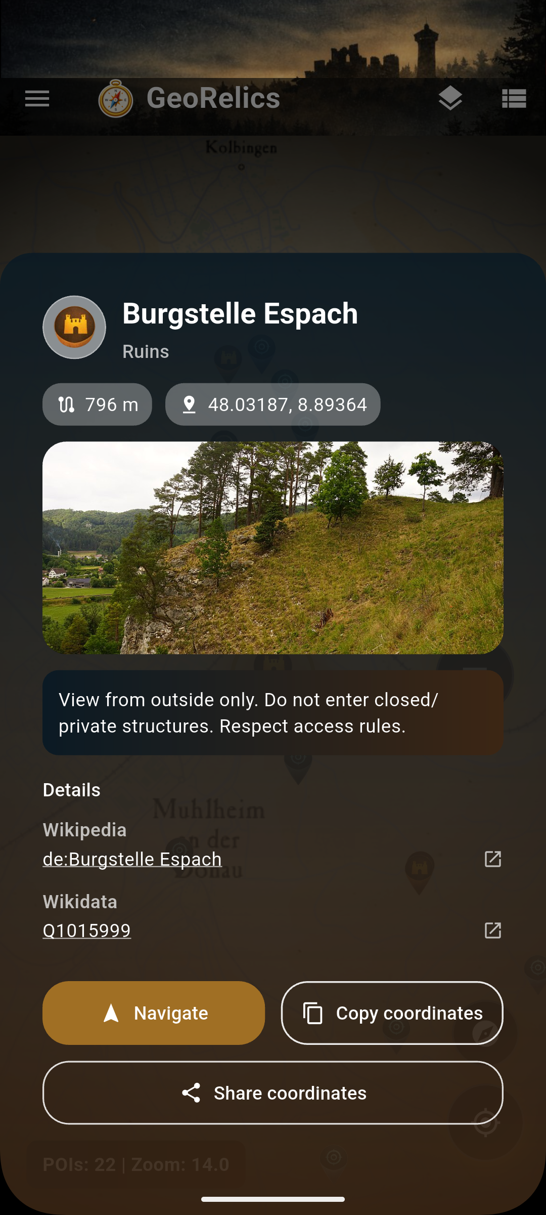
📍 Detailed Points of Interest
- Clear POI details at a glance
- Open locations directly in external navigation apps
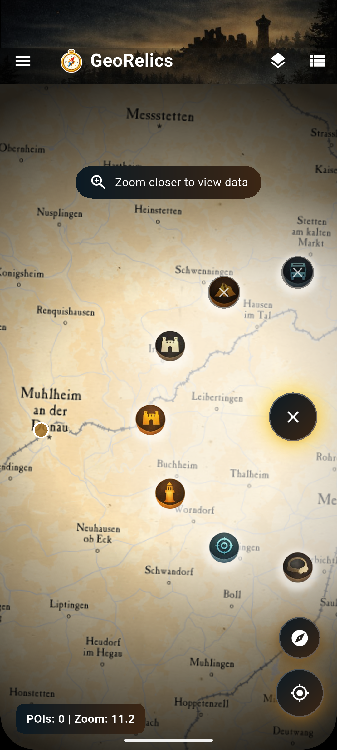
🗺 Live Map Data
- Load current map tiles from supported providers
- Fetch POIs for the visible map area on demand
- Choose the layer that fits your trip and terrain
🔎 Search and Favorites
- Search for towns, villages, and landmarks
- Jump directly to the result on the map
- Save favorites and mark visited places locally
- Share interesting discoveries with deep links
🧠 Included POI Categories
GeoRelics processes data from OpenStreetMap (europe.pbf), focusing on real, useful outdoor resources:
💧 Water Sources
- Drinking fountains
- Wells
- Springs
🛒 Supplies
- Shops & kiosks
- Vending machines
- Gas stations
- Restaurants
- Bike shops
- Sport & outdoor stores
🏕 Shelter
- Campsites
- Mountain huts
- Shelters
- Remote lodging
🛠 Helpers
- Repair stations
- Public toilets
- Graveyards (often reliable water sources)
- Picnic tables
🚑 Emergency Services
- Hospitals
- Clinics
- Doctors
- Pharmacies
- Dentists
- Defibrillators (AED)
🏕 Designed for real outdoor use
- Live map and discovery data
- No account required
- No social features
- No tracking or gamification
- Focused on practical navigation & safety
GeoRelics is not a social platform — it's a tool you can trust when you're far from civilization.
📍 Data sources & transparency
All map and POI data is based on OpenStreetMap, continuously improved by a global community of contributors.